
Saturday, 12 August 2023 | PNS | DEHRADUN
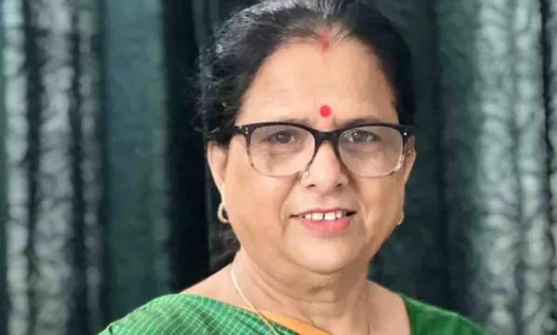
The chairperson of Uttarakhand State Commission for Women (USCW), Kusum Kandwal has asked the police to take prompt action in the case of a missing teenage girl. Kandwal issued this direction after learning of an incident in Rishikesh where a 15-year-old girl was reported missing from her residence. Kandwal stated that she has instructed the circle officer (CO) of Rishikesh to take immediate action and locate the girl without delay and ensure her safe return to her family. She said that the CO has informed her about the surveillance of the minor girl’s mobile phone and assured that once her location is ascertained, she will be safely reunited with her family.
Kandwal added that she has also instructed the Lakshmanjhula police station officer in Rishikesh to take immediate action in the case of a missing 34-year-old woman from Pauri district. The woman has been missing since August 3 after having an argument with her husband after which the woman came to the Gramin Bank in Diuli on the said date. After withdrawing Rs 3,000 from the bank, she sat in a taxi and got down in Koyal Ghati Rishikesh. On seeing the CCTV footage, it has become clear that she had boarded a taxi for Bijnor. The police have told Kandwal that they are investigating the case and expect to bring the woman back from Bijnor soon.


