

PIONEER NEWS SERVICE | Dehradun/Jyotirmath
Snowfall in the high altitude regions of the State resulted in a drop in temperatures in parts of the State on Sunday. Meanwhile, the State Meteorological Centre has issued a yellow warning regarding the possibility of heavy rain likely to occur at isolated places in Pithoragarh and Bageshwar districts on Monday.
Thunderstorm accompanied with lightning/intense to very intense spells of rain/gusty winds (40-50 kmph) are likely to occur at isolated places in the mountainous region of the State while thunderstorms accompanied with lightning/gusty winds (40-50 kmph) are likely to occur at isolated places in the plain districts of the State today. Apart from this, light to moderate rain/thunderstorms are likely to occur at many places in the mountainous region and at a few places in plains of the State today.
The provisional State capital Dehradun is forecast to witness a mainly clear to partly cloudy sky. Light to moderate rain/thunderstorms accompanied with lightning/gusty wind (40-50 kmph) are likely to occur in some areas towards evening/night. The maximum and minimum temperatures are likely to be about 37 degrees Celsius and 22 degrees Celsius respectively in Dehradun today.
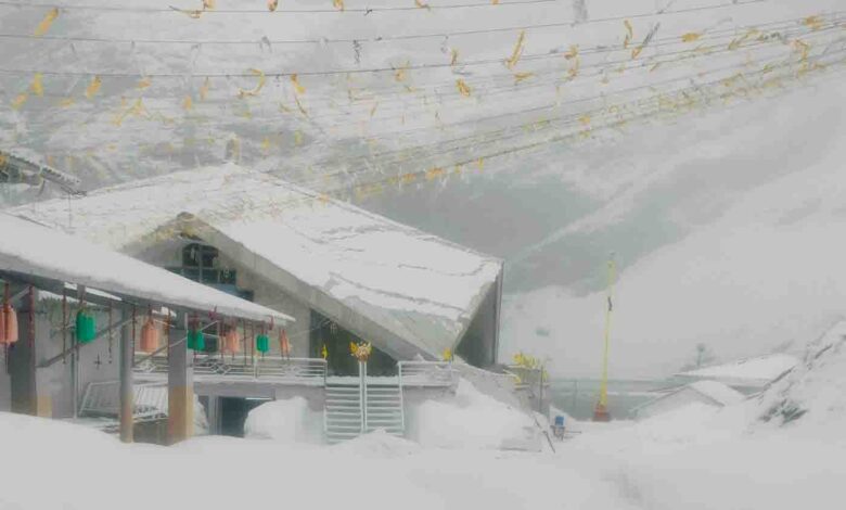
Meanwhile, snowfall in some mountainous regions like the higher reaches in Chamoli district including the Hemkund-Lokpal area brought the temperature down by a few notches on Sunday. At a time when the plains are experiencing hot and humid weather, the snowfall drastically changed the weather in the high altitude regions.
The maximum and minimum temperatures recorded in various parts of the State on Sunday were 37.2 degrees Celsius and 20.8 degrees Celsius respectively in Dehradun, 37.5 degrees Celsius and 25.4 degrees Celsius in Pantnagar, 25.5 degrees Celsius and 14.9 degrees Celsius in Mukteshwar and 26.2 degrees Celsius and 15.6 degrees Celsius in New Tehri.


